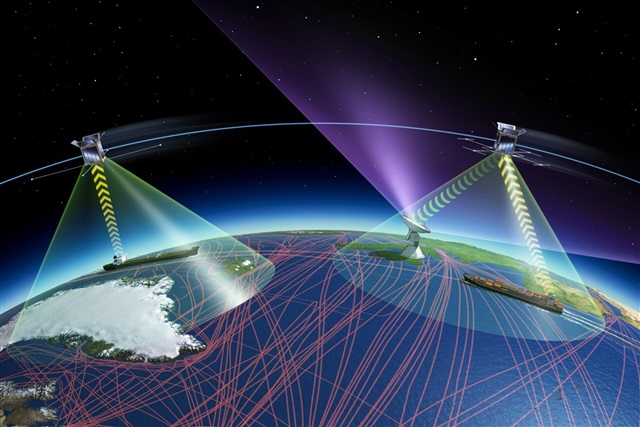
In the complex world of international commerce, satellite tracking in maritime trade has emerged as a game-changing innovation that ensures transparency, safety, and efficiency across global supply chains.
By connecting ships, ports, and logistics networks through real-time data, satellite tracking is revolutionizing how nations and businesses manage the movement of goods across the oceans.
In order to succeed in international trade, a skilled exporter consults with experts in this field in order to set foot on this path with knowledge of target market conditions and customs laws. If you intend to export goods to other countries, you can get help from our consultants at Meran Group Company to guide you in this direction.
The Role of Satellite Tracking in Global Shipping
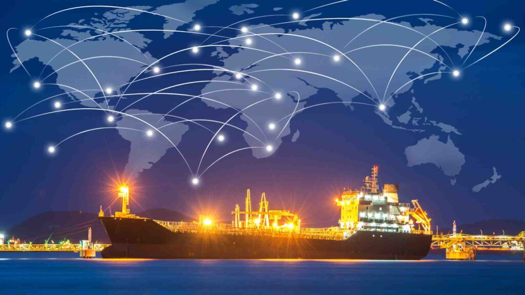
Every day, over 90% of global trade is carried by sea. The massive scale of maritime operations makes visibility a crucial challenge.
Traditional vessel tracking systems often suffer from limited coverage, especially in remote waters. This is where satellite-based AIS (Automatic Identification System) comes in — providing real-time monitoring of ships anywhere in the world.
“Satellite tracking has turned global shipping into a transparent digital map — every vessel, every movement, visible in real time.”
How Satellite Tracking Works
Satellite tracking integrates multiple data streams to provide accurate visibility:
- AIS Transponders: Installed on ships to send identification, speed, and route data.
- Earth Observation Satellites: Capture weather, sea temperature, and navigation conditions.
- Global Data Networks: Combine satellite data with port and customs systems for smarter trade logistics.
- AI & Predictive Analytics: Analyze patterns for route optimization, delay prediction, and risk management.
This seamless system allows traders, freight forwarders, and customs authorities to act faster and more precisely.
Applications of Satellite Tracking in Maritime Trade
- Real-Time Vessel Monitoring
Ports and logistics providers use satellite data to monitor vessel traffic, detect route deviations, and predict estimated time of arrival (ETA).
(Learn more about innovation in transport systems in our article Smart Transport.) - Trade Route Optimization
By analyzing historical data and environmental conditions, satellite tracking helps determine fuel-efficient and low-risk trade routes. - Security and Compliance
Governments and shipping companies use satellite insights to ensure compliance with international trade sanctions.
(See also: Sanctions and International Trade) - Monitoring the INSTC Corridor
The International North–South Transport Corridor (INSTC) relies heavily on satellite visibility to coordinate multi-modal routes from India to Northern Europe.
Case Studies of Satellite-Enabled Trade
Maersk Line, one of the world’s largest shipping companies, uses satellite-based analytics to track fleet performance and reduce idle time.
The European Maritime Safety Agency (EMSA) operates CleanSeaNet — a satellite system that monitors oil spills and illegal discharges.
Iran and Persian Gulf shipping operators have started adopting AIS tracking to strengthen transparency and meet international standards.
“From compliance to sustainability — satellite tracking is becoming the nervous system of global maritime trade.”
Benefits of Satellite Tracking in International Trade

- Complete visibility of global shipments
- Faster customs clearance and port coordination
- Enhanced cargo security and fraud prevention
- Reduced environmental footprint through optimized routes
- Reliable data for compliance reporting
By integrating satellite tracking with smart logistics systems, companies can transform raw data into actionable insights that increase efficiency and trust across the entire supply chain.
Satellite Tracking and Green Logistics
Environmental sustainability is no longer optional in maritime transport.
By combining satellite tracking with green logistics strategies, companies can:
- Measure carbon emissions in real time
- Optimize shipping speeds for lower fuel use
- Identify congested or high-risk routes that waste energy
Explore more about sustainability in global logistics here:
The Rise of Green Logistics
Challenges of Implementing Satellite Tracking
Despite its advantages, some barriers remain:
- High Data Costs: Satellite communication can be expensive for smaller fleets.
- Data Security Risks: Sensitive route data requires strict encryption and cyber protection.
- Integration with Legacy Systems: Many ports still lack full digital readiness.
- Privacy Concerns: Sharing vessel data across borders can raise regulatory issues.
Still, with growing international cooperation and AI-driven systems, these challenges are rapidly being addressed.
The Future of Maritime Trade Visibility
By 2030, experts predict that nearly all commercial vessels will operate with real-time satellite connectivity.
Combined with AI, blockchain, and IoT sensors, satellite tracking will enable a new level of predictive trade logistics, where disruptions are anticipated and resolved before they impact global supply chains.
“The future of global shipping lies in intelligent visibility — powered by satellites, driven by data.”
Conclusion
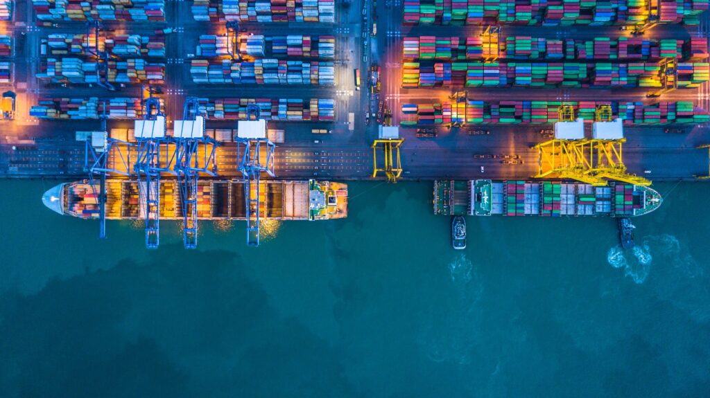
In conclusion, satellite tracking in maritime trade is transforming global shipping from a reactive system into a proactive, data-driven network.
It not only enhances operational efficiency but also strengthens compliance, security, and sustainability — key pillars of modern international trade.
As satellite technology evolves, its role in global logistics will only become more central to the future of transparent and efficient commerce.
Ready to bring real-time transparency to your global shipping operations?
Contact our maritime logistics experts to explore how satellite tracking can elevate your trade efficiency and compliance today.
FAQs
What is AIS and how does it relate to satellite tracking
AIS (Automatic Identification System) transmits a ship’s identity, position, and speed. Satellites extend its coverage globally.
How does satellite tracking reduce trade risks
It helps detect suspicious movements, forecast weather disruptions, and ensure compliance with trade regulations.
Is satellite tracking cost-effective for exporters
Yes. The reduction in delays, fuel use, and insurance risks often outweighs the system cost.